|
Width: 400 Height: 400 Extent:
YMin: 56034.767795265536 XMax: 1908511.8450966228 YMax: 1021791.5862475972 Spatial Reference: 103180 (6597) LatestVCSWkid(0) Scale: 2781379.637142715 |
| ArcGIS REST Services Directory | Login |
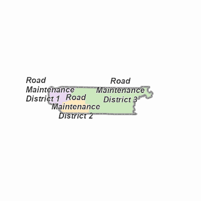
| Home > services > PublicWorks > RoadMaintenanceDistrictsWebMap (MapServer) > export | Help | API Reference |
|
|
Width: 400 Height: 400 Extent:
YMin: 56034.767795265536 XMax: 1908511.8450966228 YMax: 1021791.5862475972 Spatial Reference: 103180 (6597) LatestVCSWkid(0) Scale: 2781379.637142715 |